For treasure hunters and professional prospectors, the dream of uncovering hidden wealth beneath the earth often starts with technology. While traditional metal detectors can identify shallow finds, true exploration requires devices capable of seeing much deeper. That’s where ground scanners come into play. These advanced detectors combine precision engineering with modern imaging systems, giving users the ability to map and visualize what lies beneath the surface.
Unlike standard machines, a ground scanner gold detector is designed not only to detect metal but also to analyze depth, size, and even the shape of underground targets. This makes them essential tools for serious hunters who need more than just a “beep” when they’re close to buried items. But how exactly do these devices work underground, and why have they become such a valuable resource in treasure hunting and archaeology?
The Science Behind Ground Scanning Technology
Ground scanner detectors use a combination of electromagnetic fields and advanced sensor technology. When a scanning coil is placed over the ground, it emits signals that penetrate the soil. If the signals encounter metals, voids, or unusual structures, they bounce back differently compared to the surrounding soil.
These variations are processed by the device’s onboard computer, which then creates a three-dimensional visualization of the underground landscape. Instead of just knowing something is there, users get a clearer idea of what it might be, how deep it is, and whether it’s worth excavating. This reduces wasted time, protects archaeological sites from unnecessary digging, and allows treasure hunters to make more informed decisions.
Real-Time 3D Imaging for Precision
One of the standout features of ground scanners is their ability to produce real-time imaging. Unlike standard detectors, which only signal presence, ground scanners provide a detailed map of underground anomalies.
These maps help users identify whether the target is a solid metallic object, a cavity, or even a cluster of minerals. For professionals, this is invaluable. It’s not just about detecting—it’s about understanding. With high-resolution imaging, ground scanners allow treasure hunters to avoid false positives and focus their energy where it matters most.
Why Depth and Accuracy Matter
The underground world is full of complexities. Layers of soil, mineralization, rocks, and moisture can all interfere with standard detectors. Ground scanners are engineered to overcome these challenges. They penetrate deeper than conventional devices, often reaching several meters below the surface.
Depth alone isn’t enough, though. Accuracy is equally crucial. A professional doesn’t want to waste hours digging for small surface-level junk. Ground scanners like those offered by BR Detectors Dubai ensure that deeper, larger, and more valuable targets are prioritized. This combination of depth and accuracy is what makes them superior tools for serious hunters.
The Role of Calibration and Soil Balance
One important part of using a ground scanner effectively is calibration. Different soils contain varying amounts of minerals, which can distort readings if not accounted for. Ground scanners include soil balance features that adjust the sensitivity of the device to specific environments.
Whether you’re working in desert sands, clay-rich earth, or rocky mountain terrain, proper calibration ensures consistent results. Experienced users know that taking time to adjust soil settings can make the difference between missing a valuable find and striking gold.
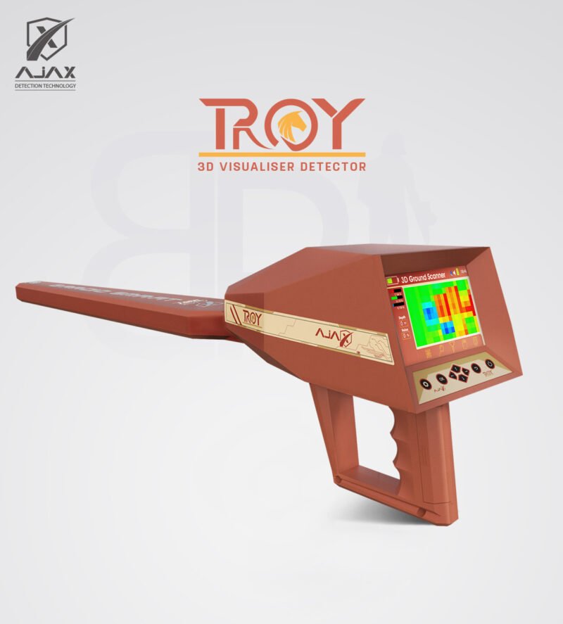
Highlighting the Troy Ground Scanner
Among the advanced devices available today, the Troy stands out as a versatile and powerful ground scanner. Designed for professionals and serious enthusiasts, it combines multiple detection systems with modern imaging capabilities.
The Troy is particularly popular because of its ability to operate in challenging terrains while still providing precise imaging. Its intuitive interface makes it easier to interpret underground data, even for users who are relatively new to 3D scanning technology. With its balance of depth, accuracy, and usability, the Troy is a strong example of how ground scanners have evolved to meet the demands of modern treasure hunters.
Practical Applications Beyond Treasure Hunting
While many associate ground scanners with treasure hunting and gold discovery, their applications extend much further. Archaeologists use them to map ancient ruins without damaging sites. Construction teams rely on them to detect cavities, pipes, or foundations before digging. Even geologists utilize them to study underground mineral formations.
This versatility shows why the technology is so valuable. A single device can serve professionals across multiple industries, saving time, money, and resources by providing a clearer picture of what lies below.
Real-World Experiences with Ground Scanners
Professionals who use ground scanners often share similar stories: fewer wasted digs, greater efficiency, and more impressive finds. For instance, some have reported identifying large underground chambers that turned out to be ancient burial sites. Others have used scanners to detect deep gold veins that traditional detectors simply couldn’t reach.
The technology doesn’t guarantee success—no detector can—but it significantly increases the odds by reducing guesswork. It also allows hunters to explore deeper sites that were once out of reach.
Final Thoughts
Ground scanners represent a leap forward in the world of detection. They move beyond simple alerts and provide detailed underground imaging that empowers users to make smarter decisions. For professional treasure hunters, archaeologists, and construction experts, they are no longer optional tools—they are essential.
Devices like the Quantum VX900 and Troy show just how far detection technology has come. With their depth, precision, and 3D mapping, ground scanners help professionals unlock secrets hidden beneath the earth in ways that were impossible just a generation ago.